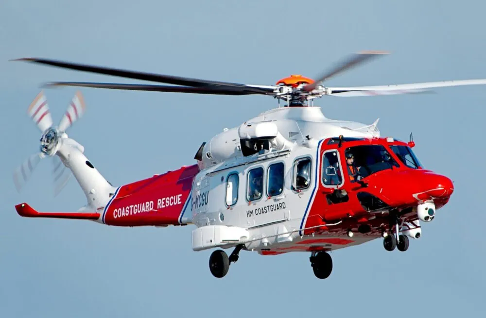
The AW189 in long-range SAR
The AW189 is a step up in SAR capability. It is a super-medium twin designed from the outset for long-range maritime operations. Its larger cabin carries more personnel and mission equipment, and its extended range and endurance reach distant search areas and stay there. For operators covering wide blue-water zones, it is the natural evolution.
Twin-engine design and all-weather avionics give crews the operating margin challenging maritime environments demand. They provide a platform for decision-making as much as transportation.
AIMS-ISR on the AW189
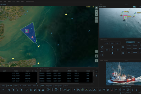
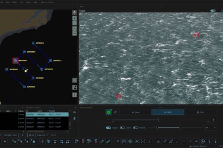
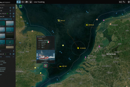
AIMS-ISR converts the AW189’s reach into actionable intelligence. EO/IR, radar, and AIS converge into one georeferenced operating picture where the cabin operator identifies contacts, tracks movement, and coordinates search patterns with real-time sensor confirmation.
The system records every observation and decision as a complete mission dataset: an archive of what was seen, when, and what actions followed. Paired with AIMS-ISR, the AW189 serves both the immediate response and the institutional learning that follows it.
Mission profiles
- Search and rescue: long-range maritime search with integrated EO/IR, radar, and AIS fusion for extended on-station time
- Coast guard aviation: offshore surveillance and coastal protection across wide operating areas