Our History
20 Years of ISR on the Leading Edge
Twenty years ago, a small group of system and software engineers teamed up to provide operators with software to help them answer, “what are they up to?” This team enabled ISR excellence for a diverse array of missions. As a result, CarteNav has built a reputation for embracing challenges others may avoid – integrating with complex sensors that extend the operator’s capabilities far beyond the status quo to help address today’s security, safety, economic, and environmental threats.
⌄
2002
CarteNav was founded in August 2002 by Rick MacDonald, Michel Lechmann, and John Garden later joined by Michelle Pinfold and Mark Kane. After becoming incorporated in October of 2002, the primary business was contract research and development.
2005
AIMS-ISR was released after a version was developed for Defence Science and Technology Organization (DSTO) Australia as an R&D project. In December 2005, CarteNav in partnership with Marops Ltd. provided the Royal New Zealand Air Force’s P3-K Orion fleet with AIMS-ISR mission software.
2007
In 2007, CarteNav equipped 18 AP-3Cs with AIMS-ISR for the Royal Australian Air Force (RAAF). For this application, a number of changes were made including the capability of having up to 11 operators working independently on the operational picture from a networked database.
2009
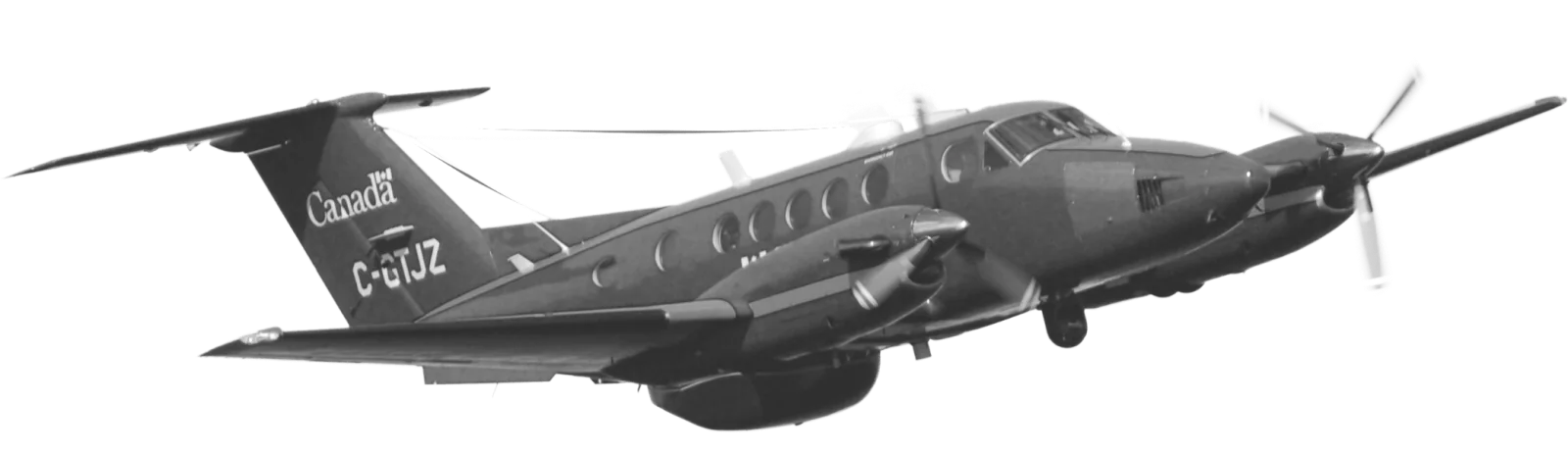
CarteNav equipped the Royal Canadian Air Force (RCAF) in 2009 with a version of AIMS-ISR for its 10 CP-140 Auroras. This resulted in enhanced capabilities for the conduct of the overland operations, in particular the ability to transmit live video to the ground such as for security operations during the 2010 Winter Olympics in Vancouver.
2011
In 2011, CarteNav sold its first version of AIMS-HD (with dedicated fire mapping tools) to Australian helicopter company; Heliwest Group. AIMS-HD enabled special mission reconnaissance helicopters to capture EO/IR video, still images, and metadata including plotting active fire-lines on the digital moving map. These imagery and data products were made available for transmission in real-time to incident commanders on the ground.
2015
The first aircraft of the new build fleet program was delivered to the UK National Police Air Service. This was the first time CarteNav integrated a searchlight that was commanded to slew a track where the camera was pointing. In addition, the system was integrated with the LoJack Tracker to receive signals from an RF (radio frequency) tracker for stolen vehicles. This advancement demonstrated the versatility of AIMS to integrate with a wide range of sensors outside standard camera sensors.
2016
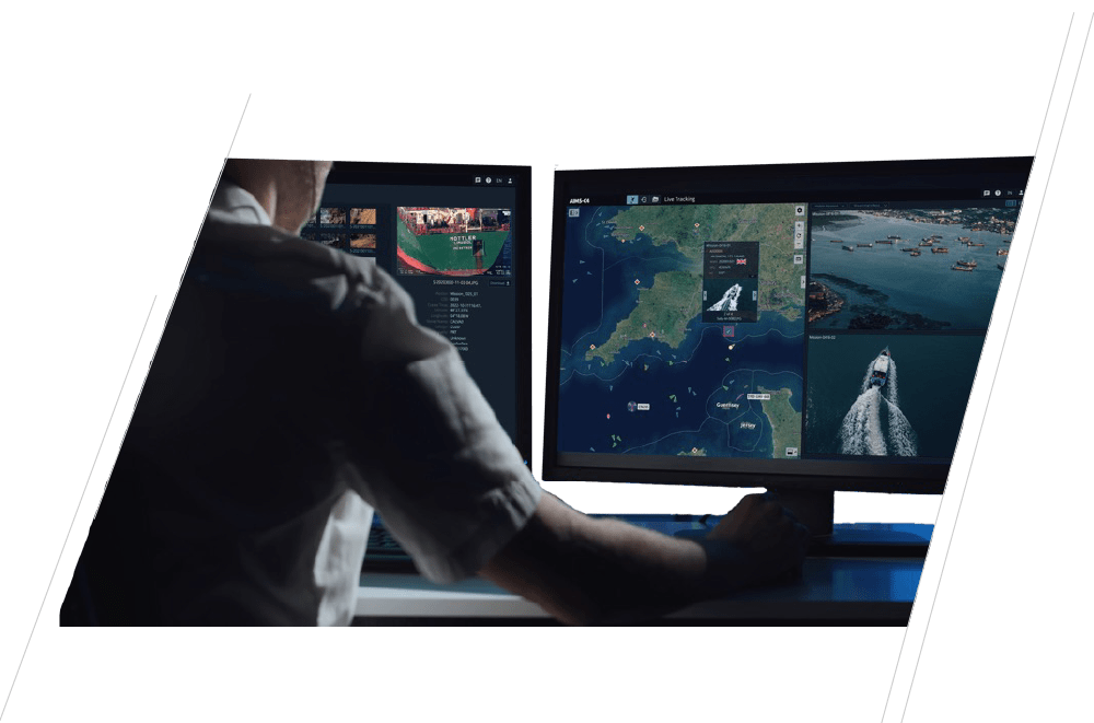
CarteNav was acquired by the PAL group of companies in 2016. Following this strategic acquisition, CarteNav was well equipped to meet market demands. 2016 also saw the introduction of AIMS-ISR radar capabilities. This latest offering from CarteNav significantly extends the capabilities of the software, and provides users with comprehensive radar control capability, fully integrated into its existing software interface.
2019
In August 2019 CarteNav saw the first deployment of ISR Power by the Hour Capability with the PAL Aerospace Force Multiplier Program (FMX). Included in the power by the hour service was the implementation of AIMS-ISR with an avionics bus box that controls the sensor data flow.
2020
Commissioned into service in July 2020, CarteNav supplied the New Zealand Maritime Sustainment Capability. This was the company’s first military naval installation and featured a complete system including computer hardware that interfaced with several key systems on the ship. The platform diagnostic system allowed ease of integration for shipbuilders, aircraft, and land vehicle manufacturers. Additional capabilities were added for classified sensors in later years.
2021
The Netherland Coast Guard's multi-role maritime surveillance aircraft is launched in Partership with CarteNav, PAL Aerospace, and Jet Support in 2021. CarteNav introduced Side Looking Airborne Radar (SLAR) and IR/UV Line Scanner Moving Map capabilities to provide multi-role air reconnaissance capabilities.
Additionally, in 2021, CarteNav’s AIMS-ISR mission software achieves DO-178C qualification for integrated flight planning with flight management systems. This includes automated flight planning and enhanced navigation data transfers within the AIMS-ISR mission software.
2022
CarteNav has been busy in 2022 with a number of innovative integrations announced so far. In January CarteNav and Smith Myers announced the integration of ARTEMIS mobile phone detection, location, and communication sensor with AIMS-ISR. This was followed by the integration of IMSAR Systems, delivering Low SWaP multimode radar capabilities to AIMS-ISR customers. Additionally in 2022 the integration with Haivision for secure real-time C4ISR mission data and video delivery was announced.
What's Your Mission?
CarteNav's C4ISR software is ready for your special missions program – backed by a dedicated ISR support & training team. Schedule a demonstration today and discover the future of ISR mission software.
Tell us your CONOPS