Mission software for the surface fleet
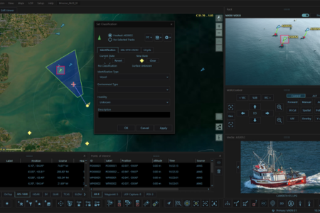
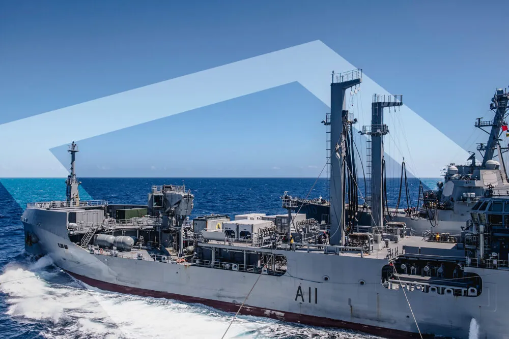
AIMS-ISR installations extend across the surface fleet: naval combatants, offshore patrol vessels, patrol boats, and naval support and research vessels. At a shipboard operator console, AIMS-ISR fuses the vessel’s radar, EO/IR, and AIS feeds into the same georeferenced operating picture that CarteNav delivers in the air, with the same evidence-grade recording behind it.
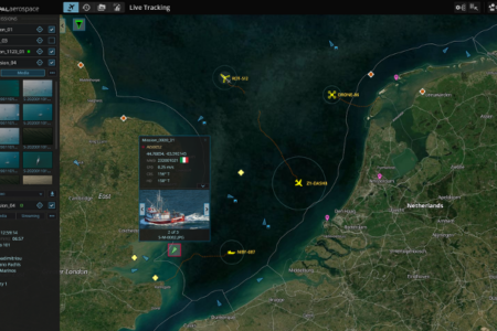
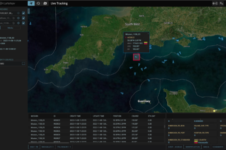
For mixed air and surface operations, that commonality matters: an aircraft’s picture and a vessel’s picture are built on the same software, the same data formats, and the same operator skills, so a task group and its supporting aviation work from one shared understanding of the surface situation.
The vessel as an uncrewed aviation hub
Modern combatants increasingly operate embarked uncrewed aircraft, and this is where CarteNav’s shipborne pedigree is strongest: AIMS-ISR serves as the mission and payload picture for embarked VTOL UAS, a role proven publicly aboard frigates with the CAMCOPTER S-100.
AIMS-C4 completes the architecture, distributing the ship’s operating picture to fleet command and shore headquarters so that what the vessel and its aircraft see, the wider operation sees as well.
Mission profiles
- Naval combatant operations: shipboard sensor fusion and mission management for embarked uncrewed aircraft
- Maritime security and patrol vessels: a georeferenced surface picture with evidence-grade recording for patrol and interdiction tasking
- Naval support and auxiliary vessels: surveillance, trials, and mission-support roles with AIMS-C4 connectivity to command