“Before we had AIMS-ISR, it was difficult to have geospatial awareness. You actually had no idea where
John Fitzgerald, Search Crew and Accountable Manager, Channel Islands Air Search
you were and what you were looking at. You were just sort of putting your finger in the air and seeing
where the wind was blowing. AIMS-ISR gives us far better awareness of where we are and what we’re
doing.”
Download Printable PDF
Download the PDF version for printing and sharing.
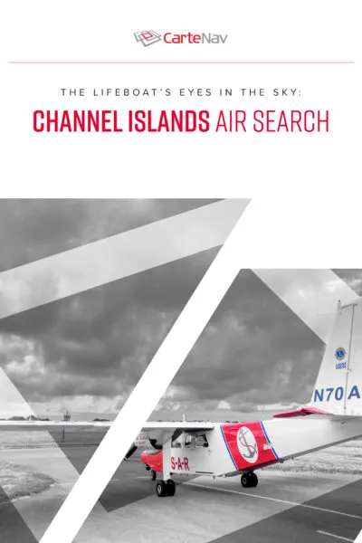
Saving Lives with Geospatial Awareness
When boaters or swimmers run into trouble in the rough waters of the English Channel, the most welcome sight for desperate eyes is a red-and-white airplane circling overhead.
For the lifeboats and helicopters racing to save those in distress, that airplane is a guide that will steer them to the right location before it’s too late.
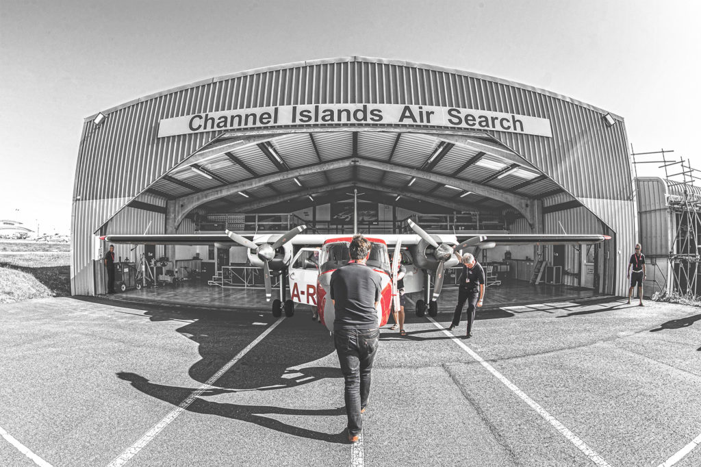
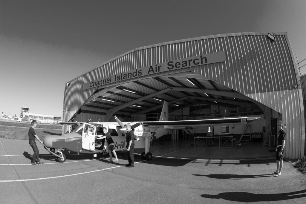
There is a reason why Channel Islands Air Search, or CIAS, calls itself “The Lifeboats’ Eyes in the Sky.” CIAS is a non-profit organization staffed by volunteers. Based on the island of Guernsey – about 30 miles from the Normandy coast of France – CIAS provides aerial searches over sea and land.
Pilots who volunteer their aircraft and themselves are not uncommon. What is uncommon about CIAS is that it owns and operates an aircraft equipped with a sophisticated sensor integration system generally found on maritime search aircraft operated by government agencies such as coast guards. Using CarteNav’s AIMS-ISR system, CIAS aircrew can locate people in distress that otherwise might not have been spotted and rescued.
“It gives the people who are operating the sensor turret in the aircraft a much better idea of their position and what they’re looking at,” said John Fitzgerald, who is Search Crew and Accountable Manager for CIAS.
AIMS-ISR integrates numerous types of sensors, including radar, EO/IR, ViDAR, moving target indicator (MTI), and maritime Automatic Identification Systems (AIS). It can cross-cue multiple sensors so that an operator who detects something in the water by radar can lock an EO/IR camera on that spot for confirmation. AIMS-ISR can also overlay positional information, which enables the search aircraft to pinpoint both its position and the position of the target.
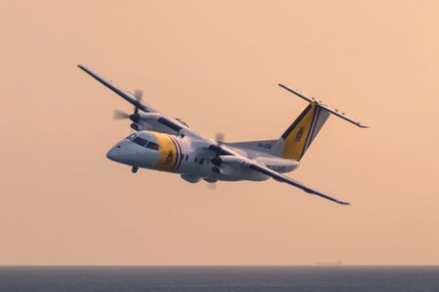
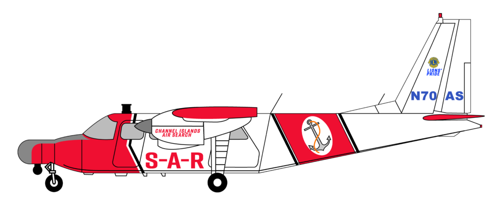
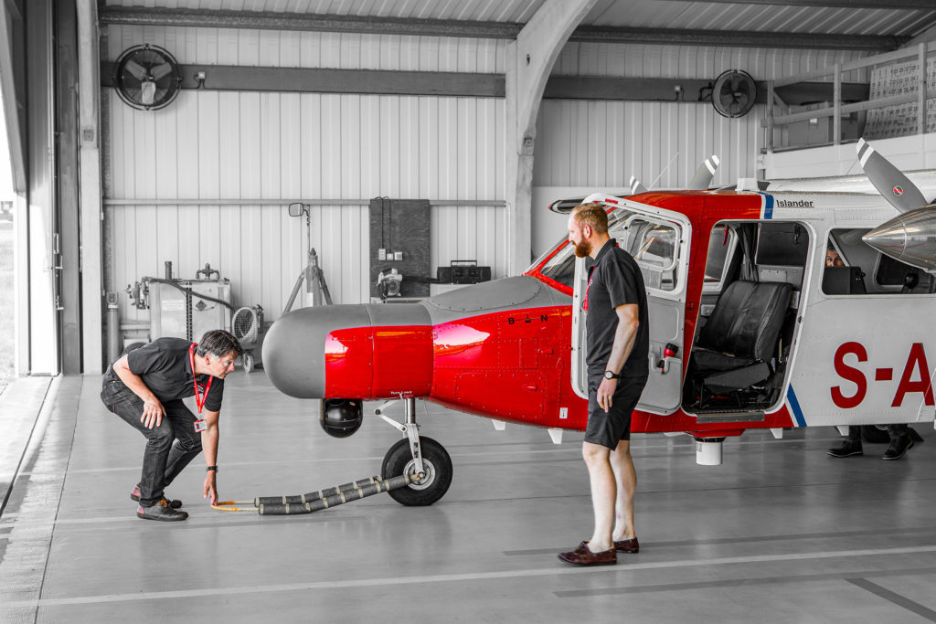
CIAS operates a Britten-Norman BN-2 Islander, a versatile twin-engine light transport that first flew in the 1960s and is still used around the world by governments and commercial owners for air travel, firefighting, medevac, and other tasks.
The organization opted to buy a brand-new Islander as a replacement for a previously used aircraft. Though this was more expensive than purchasing a used aircraft, it also offered more flexibility in configuring the plane – including adding an AIMS-ISR system.
“Before we had AIMS-ISR, it was difficult to have geospatial awareness,” said Fitzgerald. “You actually have no idea where you were and what you were looking at. You were just sort of putting your finger in the air and seeing where the wind was blowing. AIMS-ISR gives us a far better awareness of where we are and what we’re doing.”
“It makes life so much easier,” Fitzgerald added.
“AIMS-ISR gives us a far better awareness of where we are and what we’re doing. It makes life so
John Fitzgerald, Search Crew and Accountable Manager, Channel Islands Air Search
much easier.”
On the Scene in Minutes
One of the most famous searches for CIAS involved Argentine soccer star Emiliano Sala, a passenger in a PA-46 Malibu light aircraft that crashed on a night flight off the island of Alderney in 2019. Though Sala’s body was not recovered until later, searchers were able to get to the scene with remarkable speed.
“We were on scene 38 minutes after he went down,” recalled Fitzgerald. “We were circling the spot where he went in.”
Other CIAS missions had happier endings. “Probably one of the more dramatic ones I went on was where there were some people who were on the rocks and decided to go for a swim,” Fitzgerald said. “They were swimming in the dark — in an area where the tide flows at about seven or eight knots — and were being swept away toward a little island. Thankfully, we found them in the water fairly quickly. “
One key factor to a successful rescue is whether the search plane can provide precise location data to rescue boats and helicopters. Or rather the estimated location, which is often based on incomplete or inaccurate data. Without receiving accurate coordinates before they get to the scene, rescue platforms will waste precious time conducting their own search – and may even fail to find the target.
This is where CIAS finds AIMS-ISR most useful. “When we find something, we’ve got a lot more information we can pass onto the agencies we’re working with,” Fitzgerald said. “A lot more accurate information so the people we find can be retrieved far more quickly.”
Based on the island of Guernsey and with a name like Channel Islands Air Search, it’s natural to assume that the organization focuses on a maritime search around the islands. But in fact, the majority of CIAS search missions are flown over the UK mainland or even France (the Channel Islands are actually closer to the French coast).
“These days, people know where they are when they break down or get lost because they just look at their GPS and radio it in,” Fitzgerald said. “So, we don’t get so many call-outs for missing vessels anymore, though we do get calls for people who have gone overboard or missing divers who are late coming up. Now we are switching more to what they call ‘people of concern’ on land. Potential suicides, missing children, things like that.”
Download Printable PDF
Download the PDF version for printing and sharing.
Airborne Search – By Land and Sea
For land searches, one AIMS-ISR feature that CIAS finds particularly useful is automatic address lookup. “The police might ask, ‘can you go and search around this particular area?’ and you can type in the address. And then it’ll put a reference mark in there so the camera can slew to that spot later.”
Whether searching over sea or land, CIAS often has to fly in poor weather. “The aircraft has a limit of 60 knots of wind on the ground and a 30-knot crosswind,” Fitzgerald said. “And we’ll take off if we know we can land somewhere. It doesn’t have to be back in Guernsey. We can go into the UK Mainland. We can go to France. So as long as we know we can land somewhere, then we’ll generally go. Because the weather may just be localized over the top of the island, which happens quite a lot, but it’s clear out to sea. So, we just need to be able to get off the island, do the job and then land somewhere.”
CarteNav Works with Non-Profits
CarteNav has worked hard to meet the special needs of CIAS. “We’ve supported them quite a lot in terms of delivering training on-site and assisting them in configuration,” said Lee Marshall, a former British police officer, and tactical training officer for Britain’s National Police Air Service, who is now CarteNav’s director of training. “We’ve also spent a lot of time supporting the aircraft manufacturer Britten-Norman in troubleshooting an issue with the AIS sensor, which was resolved when a cabling fault was identified.”
In addition, CarteNav has integrated into AIMS-ISR the Manche Grid, “which is a grid overlay used by various search and rescue organizations that provides a common reference when identifying search areas or deploying search assets,” Marshall explained.
For his part, Fitzgerald has nothing but praise for Marshall. “Lee has been brilliant. He’s always very quick to come back to us, and he’s very responsive in the way he sort of sorts out any issues we may have. If there is a configuration issue, or we just need to learn how to do something new or update the installation, he’s always there for us.”
Ironically, for an organization that performs such important work, Channel Islands is funded solely by donations. “No government help whatsoever,” Fitzgerald said. “It’s all fundraising.”
CarteNav works hard to accommodate a volunteer group like CIAS. “We realize they are a charitable organization,” Marshall said. “I would say we are more lenient when considering how we support them. We understand their financial restrictions. We do all we can to be as cost-effective as possible and support them as they build a case for their funding.”
Nonetheless, AIMS-ISR has transformed the lifesaving eyes in the sky of CIAS. “It has just made our effectiveness so much better,” said Fitzgerald.
About Channel Islands Air Search
Channel Islands Air Search (CIAS) is a volunteer organization providing life saving airborne search and rescue services in the 4,000 square miles of water surrounding the Channel Islands and the adjacent French coast.
Operating year-round in all weather conditions, CIAS serves one of Europe’s highest-density areas for leisure boaters. Dubbed “the lifeboat’s eyes in the sky,” CIAS operates in conjunction with lifeboats, SAR helicopter, and other rescue craft.
Channel Islands Air Search provides airborne search and rescue operations for the Channel Islands and north French coast. With 4,000 square miles to cover when lives are at stake, Channel Islands Air Search relies on AIMS-ISR to deliver maximum situational awareness.
Download Printable PDF
Download the PDF version for printing and sharing.