
Low-Bandwidth Multi-Sensor Integration
Enhanced Situational Awareness Technology
Custom Mission Data & Report Generation
Real-time Management Tools for the Entire
UAS Mission
Lifecycle
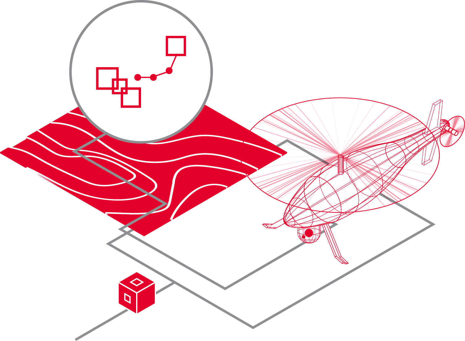
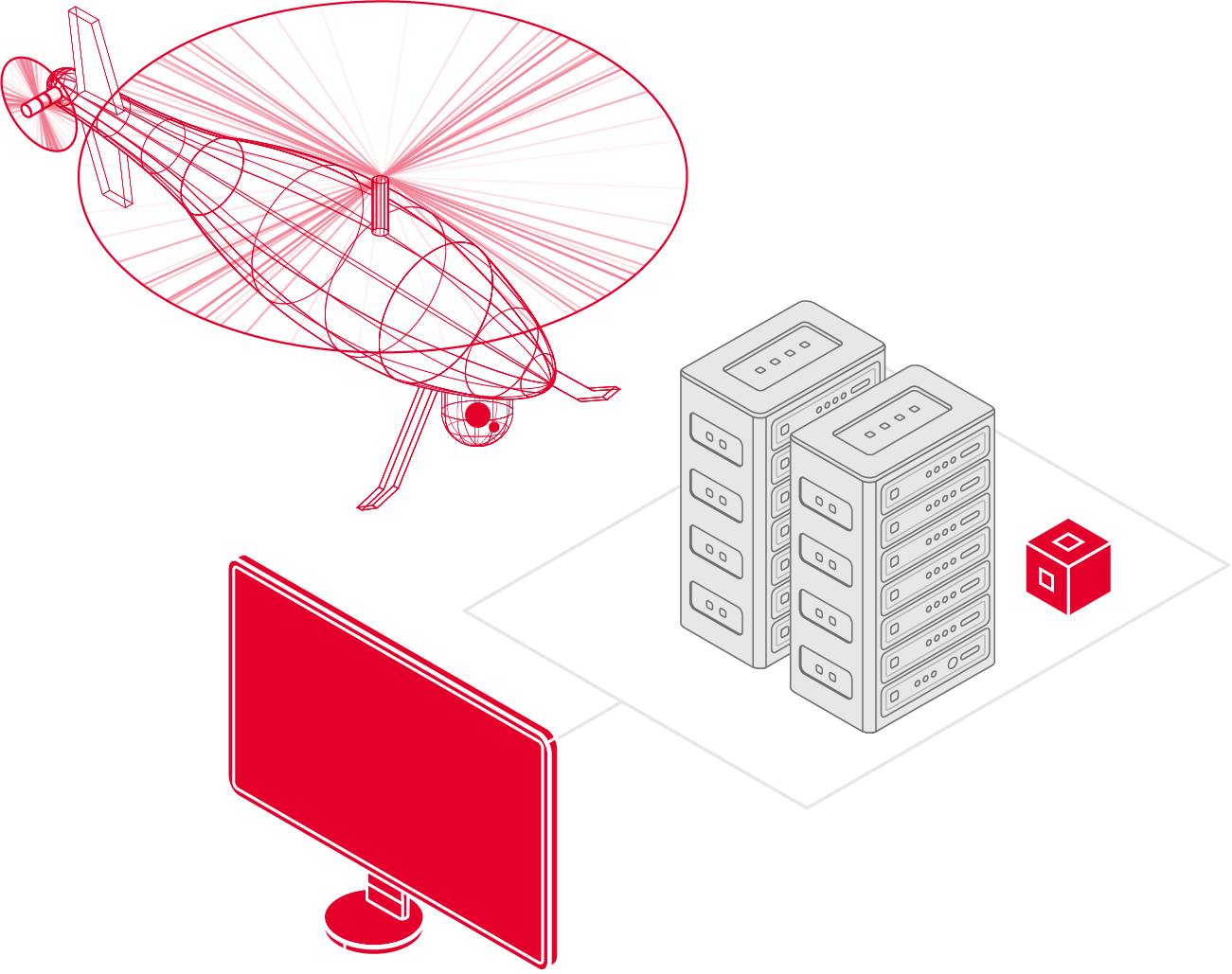
For real-time UAS operations in the field or mission management back at Command & Control – CarteNav provides C4ISR software covering the entire mission lifecycle.

Intuitive Control for
Multi-Role UAS Operators
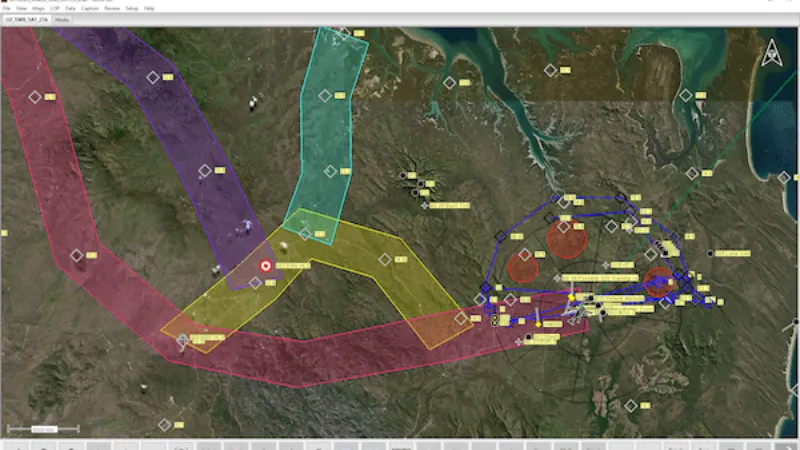
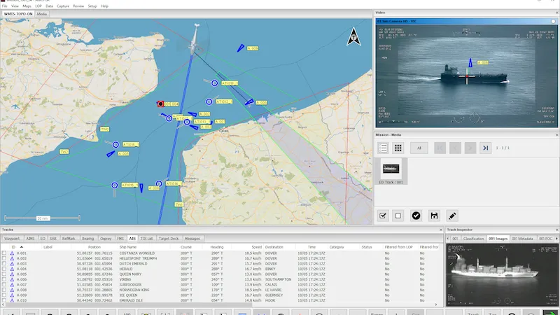
For remotely piloted aircraft sensor operators in the field, AIMS-ISR provides mission planning, execution, and recording and review of UAS mission data in an intuitive and flexible moving map interface.
Mission Planning for Remotely Piloted Missions
View imported routes and waypoints directly on the Moving Maps interface. Custom mapping and data managers ensure compliance with highlighted maneuvering areas such as airspace, borderlines, search areas, and more. Before deploying, operators can identify Targets of Interest (TOI) for autonomous SIGINT detection during the mission.
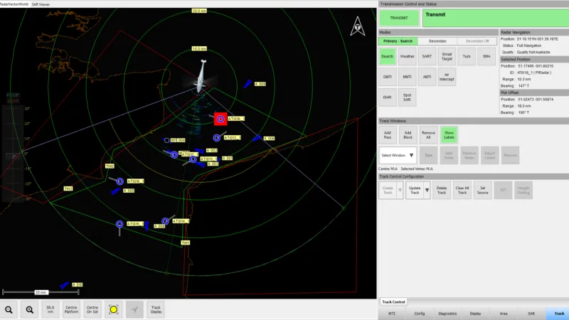
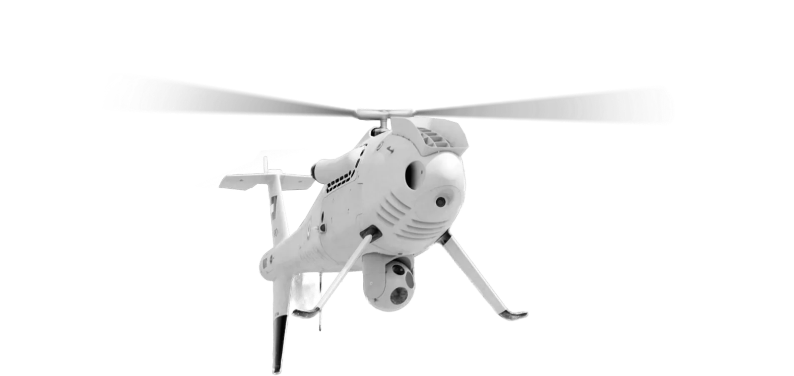
Big Capabilities for Small Systems. Geo-Referenced EO/IR & Multi-Mission Radar Control.
For remotely piloted aircraft sensor operators in the field, AIMS-ISR provides mission planning, execution, and recording and review of UAS mission data in an intuitive and flexible moving map interface.
TacVision. Airborne ISR Situational Awareness for UAS Operators.
AIMS-ISR offers UAS Operators industry-leading technology previously only available for piloted aircraft. Enhanced situational awareness features include TacVision augmented reality overlays with database query, in-video measurement tools, perimeter mapping, and Moving Target Indication (MTI).

ANY UAV // ANY SENSOR // ANY MISSION
The Remotely Piloted Aircraft Sensor Operator’s mission requirements always come first. That’s why AIMS-ISR utilizes a unique modular plugin architecture for intuitive sensor interfaces that never get in the way, providing maximum flexibility to UAV system integrators and their customers.

UAS Mission
Planning & Management
Unmanned Aerial Surveillance missions are frequent and numerous, with each generating vast amounts of information. AIMS-C4 manages deployed UAS missions in one Local Operating Picture (LOP) while collecting and storing mission data for review and analysis amongst a distributed team.
Customer Case Study
Heliwest Group
Located on Australia’s rugged west coast, Heliwest achieves ISR excellence for multiple special mission types. Missions include fire mapping, search and rescue, and linear surveillance – all executed using one common ISR mission system: AIMS-ISR.
“AIMS is critical to all our sensor payload missions. It’s the brains behind those missions. It helps us win many contracts we would not be able to compete for otherwise. It gave us the confidence we could go after those tenders and deliver on the specifications, knowing AIMS-ISR wasn’t going to cause us any trouble along the way. We know it’s going to be there, and it’s going to work.”
Tim Hand, Manager of Special Projects, Heliwest
Going Beyond the Status Quo
UAS Operator
Situational
Awareness
For real-time operations in the field or mission management back at Command & Control – CarteNav provides C4ISR software covering the entire mission lifecycle.
Challenges Facing UAS Integrators & Operators |
CarteNav C4ISR Mission Software Solutions |
|---|---|
| Limited selection of OEM supported sensors. | Flexible plugin-based architecture supporting a wide array of sensors from multiple sensor OEMs. |
| Requirement for second operator or control station for multi-mission radar. | Full multi-mission radar integration displayed on Moving Maps with automatic EO/IR Cue Lock tracking |
| Lack of SIGINT data such as AIS signals for maritime patrol operations. | Support for tracking SIGINT and ELINT receiver data on Moving Maps with EO/IR Cue Lock Tracking |
| Lack of custom data for unique and complex mission types. | Ability to import custom mission data, including zones, Points of Interest, address database, mapping, routes, and more. |
What's Your UAS Mission?
CarteNav’s ISR Mission software is ready for integration with your UAS operation and chosen multi-sensor configuration – backed by a dedicated ISR support & training team. Schedule a demonstration today and discover the future of Unmanned Aircraft Systems (UAS).
Schedule Demonstration