Sensors
//
Radar
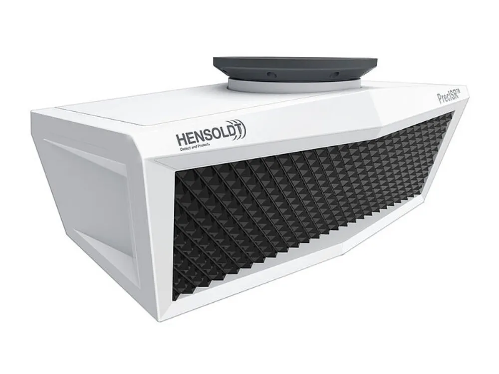
PrecISR Airborne Multi-Mission ISR Radar By Hensoldt
Hensoldt’s PrecISR radar offers high-resolution imaging across air, sea, and land. When integrated with CarteNav’s AIMS-ISR mission software, operators gain direct access to streamlined data processing and operational agility on a single local operating picture. For programs utilizing the PrecISR radar, AIMS-ISR facilitates streamlined systems integration, rapid decision-making, and reduced program risk.
AIMS-ISR + PrecISR: Future-Proof your Multi-Sensor Platforms
Via a close partnership with Hensoldt, CarteNav enables integrators to seamlessly integrate AIMS-ISR with Hensoldt’s PrecISR radar for multi-sensor platforms, enabling data processing within a system-of-systems approach, and enhanced operator efficiency on a local operating picture. For operators, AIMS-ISR is highly adaptive for multi-mission configurations – facilitating rapid decision-making and reduces operational complexity. With support for modular plugins, capabilities, and common operating picture software such as AIMS-C4, CarteNav ensure your platform is future-ready.
Get Info
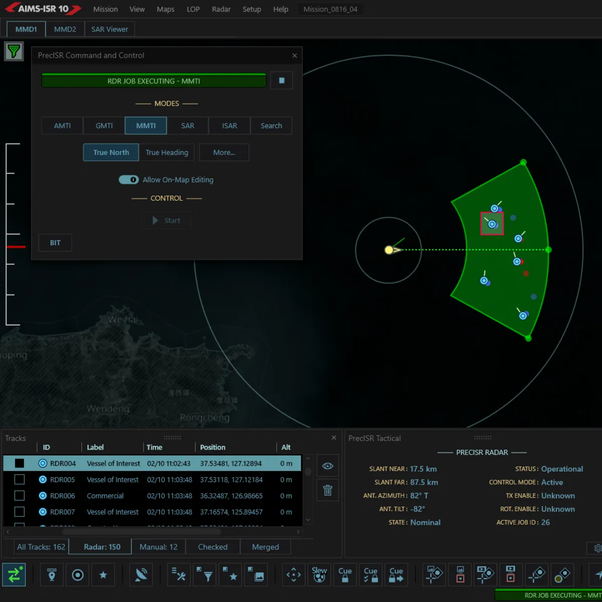
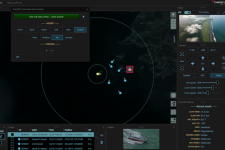
Full PrecISR Control. Multiple Sensors. One Mission Software.
Further enhance the PrecISR airborne multi-mission ISR radar’s capabilities with multiple sensor configurations, unified data management in a common operating picture, and unified track display with AIMS-ISR moving maps.
Streamlined PrecISR Radar Integration
With a close partnership with Hensoldt, CarteNav’s AIMS-ISR mission software minimizes or eliminates non-recurring engineering (NRE) costs – facilitating a seamless and cost -effective integration solution.
Renowned AIMS-ISR Operator Interface
Used in over 60 countries, leverage AIMS-ISR’s pre-configurable interface and modular sensor control. Operators can expect a familiar, efficient, and powerful operating picture when operating the PrecISR radar and other sensors.
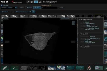
Data Handling for Today’s Complex Missions
AIMS-ISR handles large data files, such as GeoTIFFs, with seamless down sampling for use with change detection tooling and native track data tools such as alerts, filters, and cross-cueing – with further data dissemination with AIMS-C4 on the ground.
More Radar Integrations

Request PrecISR Airborne Multi-Mission ISR Radar Integration Info
The PrecISR Airborne Multi-Mission ISR Radar is compatible with AIMS-ISR. Have questions? CarteNav’s ISR Enablement Team is ready to discuss integration for your program. Using a sensor that is not featured? New sensor integrations are a standard part of CarteNav programs.