See ARTEMIS // AIMS-ISR in Action
Learn more about ARTEMIS at: artemis.smithmyers.com
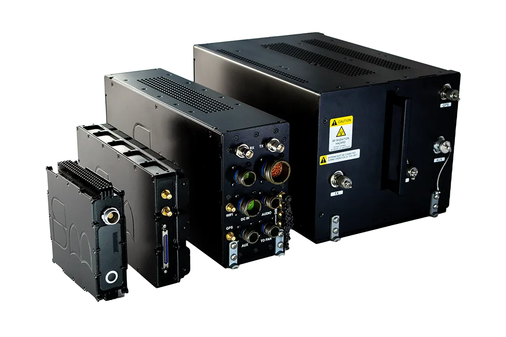
The Smith Myers ARTEMIS Mobile Phone identification, geolocation and communication sensor is a game-changing system for search & rescue, disaster relief, and border security. ARTEMIS is integrated with AIMS-ISR to provide operators with cellular tracks geo-referenced on augmented reality moving maps alongside other equipped sensors such as active EO/IR track following.
Learn more about ARTEMIS at: artemis.smithmyers.com
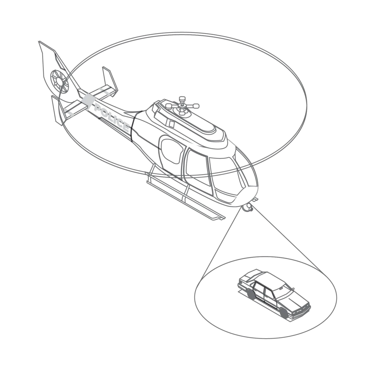
Harness the ARTEMIS' full search and rescue capabilities alongside equipped sensors – all controlled & managed on one mission system. The ARTEMIS cellular identification, geolocation and communication system is a uniquely powerful sensor and a valuable addition to any sensor suite. The integration of ARTEMIS with AIMS-ISR offers a new standard for identifying and tracking missing persons, assessing the local operating picture and automatically steering the EO/IR turret. ARTEMIS and AIMS-ISR enable rapid, positive outcomes while reducing operator workload.
Further enhance the ARTEMIS location and communication capabilities with multiple sensor integration, unified data management, and track display with the AIMS-ISR moving maps.
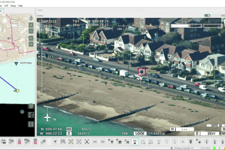
The detected phone(s) location(s) tracks are displayed on AIMS ISR intuitive moving maps interface and are geo-referenced on top of live EO/IR feeds. Identifying, tracking, following a located device is done with the touch of a button.
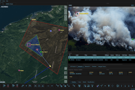
Automatically process all mission data, including ARTEMIS track data, in one unified database. Review, replay and analyze on-the-fly within AIMS-ISR – including device information & location.
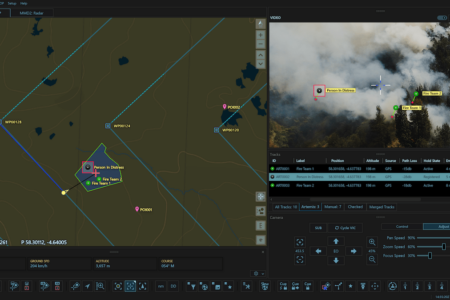
Don't gather data from siloed sensors. With AIMS-ISR, operators can utilize ARTEMIS-tracked device location data in tandem with EO/IR, other SIGINT track data such as AIS, radar, and more for full coverage and maximum efficiency.

The ARTEMIS is compatible with AIMS-ISR. Have questions? CarteNav’s ISR Enablement Team is ready to discuss integration for your program. Using a sensor that is not featured? New sensor integrations are a standard part of CarteNav programs.